Click on image for full size
Image Courtesy of NASA's Earth Observatory
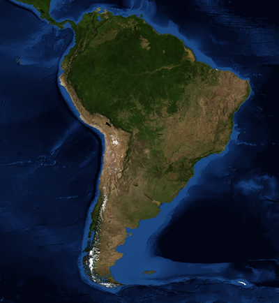
The Southeast Pacific Region
The Southeast Pacific region contains a variety of landscapes and weather conditions. This extremely diverse region of South America includes the land that is on the coastal side of the Andes mountains in the central and northern parts of Chile and much of Peru.
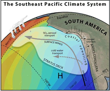
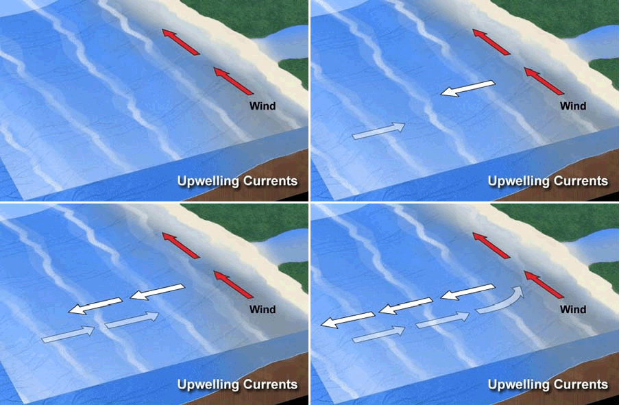
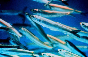
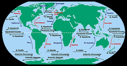
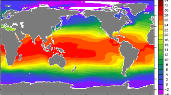
The climate of the Southeast Pacific is influenced by several different things. The towering Andes force winds to flow along the coast rather than east across the continent. These winds cause upwelling along the coast, which produces one of the largest fisheries in the world. The Southeast Pacific is cooled by ocean currents. Every few years, the El Niño Southern Oscillation (ENSO) causes shifts in winds and ocean currents. These changes can cause droughts or extremes amounts of precipitation and flooding.
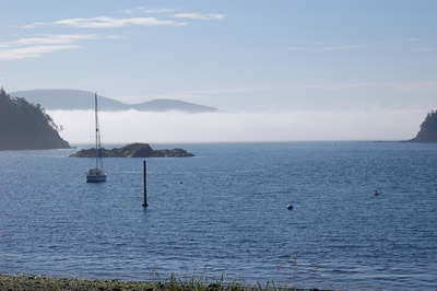
The coast of Peru and northern Chile has a subtropical desert climate. The land in this region rises up vertically from the ocean; this landscape helps trap the coastal fog that often forms over the cold ocean waters. Fog is common in the area, and the only precipitation is an occasional light drizzle. Beyond these coastal bluffs is the Atacama Desert, one of the driest places on the Earth. The Atacama Desert contains great mineral wealth, especially copper.
Central Chile has a mild, temperate Mediterranean climate. Rainfall increases going south along the coast. This part of Chile also contains a coastal mountain range that runs parallel to the Andes and creates the Central Valley.
Chile has a number of island territories located in the Pacific Ocean, including Easter Island. Easter Island is located 3,600 km (2,237 miles) off the coast of Chile and has a humid, subtropical climate.


