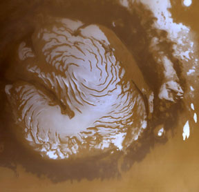
This image shows the northern polar ice cap on Mars. White areas are primarily water ice that exists throughout the year. Light brown areas near the ice are the "polar layered terrain", a mix of layers of ice and dust. A darker brown band of dune fields surrounds the polar cap. A huge canyon, Chasma Boreale, slices through the ice cap - from upper left towards lower right, starting at the 10 o'clock position, in this image. The northern ice cap is about 1,100 km (680 miles) across. This image, captured by the Mars Global Surveyor orbiter in March 1999, shows the North Pole during the Martian summer season.
Click on image for full size
Image courtesy of NASA/JPL/ Malin Space Science Systems.
The North Polar Regions of Mars
The North Pole of Mars has a large ice cap on it. The ice cap is mostly made of water ice. In the winter, carbon dioxide from the atmosphere freezes and deposits a layer of dry ice (frozen CO2) on top of the ice cap and the surrounding terrain. The polar cap grows much larger in area in the winter because of this. When summer returns, warm temperatures cause the dry ice to sublimate away, and the polar cap shrinks in size.
The northern ice cap is about 1,100 km (680 miles) across. It has a huge canyon, called Chasma Boreale, slicing through it. The edge of the ice cap is surrounded by "polar layered terrain", a series of layers of ice and dust. The ground throughout the polar regions appears to have lots of ice in or under the soil, like permafrost on Earth. Winds caused by temperature differences between the ice cap and its surrounding blow throughout the polar regions. They carve interesting grooves into the ice cap, and build up sand dunes in areas around the pole.
In May 2008, a NASA spacecraft called the Phoenix Mars Lander will land near the North Pole on Mars. Phoenix will dig into the Martian soil, searching for water ice.
Just as you might expect, the two poles of Mars are the coldest places on the planet. Wintertime temperatures dip down to a frigid -150° C (about -238° F). The South Pole of Mars also has an ice cap.
You might also be interested in:
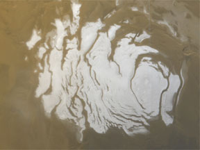
The Martian South Pole was first imaged by Mariner 7. The south polar region is part of the highlands of Mars, consisting of old, cratered terrain, and other interesting geologic features. The Mariner
...more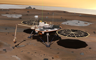
The Phoenix Mars Lander is a space mission sent by NASA to the North Polar Region of Mars. This page describes the instruments aboard the spacecraft and the mission objectives for Phoenix. Click here to
...more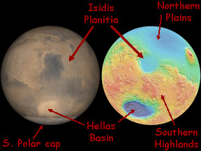
Isidis Planitia is flat plain within an ancient impact crater on the surface of Mars. Isidis Planitia is about 1500 km (930 miles) across. It is just north of the Martian equator near the center of the
...more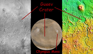
Gusev Crater is an impact crater on Mars that looks as though a lake may have once filled it in the distant past. One of the two Mars Exploration Rovers (MER) will explore Gusev Crater beginning in January
...more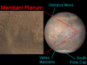
Meridiani Planum is a small, flat region near the equator on Mars. As is the case on Earth, locations on Mars are specified by stating their latitude and longitude. Meridiani Planum is near the prime meridian,
...more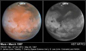
Unlike the Earth, where clouds are found around the entire globe, on Mars, clouds seem to be plentiful only in the middle latitudes, as shown in this Hubble telescope image. This may be because water of
...more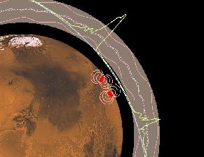
The Martian ionosphere is a layer of gas composed of ions and electrons that extends from about 75 miles up to several hundred miles up above the surface. The layer is shown schematically by the shaded
...more


