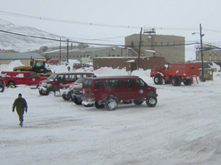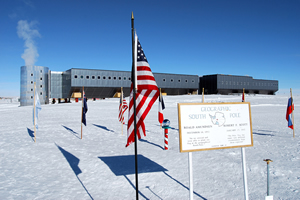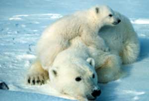
Click on image for full size
Image taken by Victoria Razina
Related links:
International Polar Year - and IPY's of the Past
The upcoming IPY year of 2007-2008 is highly anticipated by the polar science community. In the early 2000's, the International Council for Science (ICSU) joined by the World Meteorological Organization (WMO), and formally agreed to establish the International Polar Year (IPY) in 2007-2008. They also formed an International Planning Group to direct the development of the IPY program. Their official website is at www.ipy.org.What is an IPY and what is the legacy from the similar events in the past?
*** First IPY ***
The First IPY took place in 1882-83. An Austrian researcher and a naval officer Karl Weyprecht was the mastermind behind this event. After spending several years in the Arctic he realized that comprehensive data collection can be achieved only by combining all available research capacities of several countries. He proposed international collaboration between countries and the idea of an international polar year was born. In 1882, 12 nations established 15 stations (13 in the Arctic and 2 in the Southern Hemisphere off the coast of South America) and collected data year around. Unfortunately Karl Weyprecht did not live to see his idea coming to life.
The initial plan for the first IPY did not go beyond data collection and thus this event didnt lead to a major scientific breakthrough. The data were published in the countries where it were collected and the International Polar Commission dissolved soon after the IPY ended. However, this event set a precedent for international scientific collaboration and later events were guided by this experience.
*** Second IPY ***
The scientific community came back to this idea fifty years after the first IPY took place, announcing 1932-33 as the Second International Polar Year. By that time, the technology evolved significantly and on top of ground-based meteorological and geophysical measurements, data collection also included radiosonde and acoustic atmospheric measurements. 40 nations participated in the second IPY, but due to the world-wide economic depression many of them did not execute all of the planned activities. Forty permanent stations were established in the Arctic, many of which are still active now. The second Byrd expedition to the Antarctic continent also occurred as a part of the US contribution to the second IPY. This expedition established a winter-long meteorological station on the Ross Ice Shelf, the first research station inland from Antarcticas coast. The USSR also commenced several expeditions to the land glaciers of Pamir and Altay mountains.
*** IGY ***
In the early 1950's, scientists started to discuss the organization of another International Polar Year. The potential of the technology developed during WWII enabled researches to investigate previously unreachable frontiers. The initial idea of the third IPY evolved into the International Geophysical Year (IGY), which started in 1957 to celebrate the 75th and 25th anniversary of the past IPYs. Although the world was in the middle of the Cold War, the IGY was by far the most successful example of international scientific collaboration. 67 nations participated in the event. For the first time simultaneous data collection efforts all over the globe included hydrographic measurements of all oceans. Finally, the theory of continental drift was confirmed after 50 years of dispute.
USSR launched their first satellite Sputnik in 1957. The US followed the Soviet example in 1958 with the launch of its satellite Jupiter-C. Those launches enabled the discovery of the Radiation Belt encircling the Earth.
For the first time scientists traversed the Antarctica continent, establishing the total size of its ice mass. Permanent observational stations were established in Antarctica. The theory of isostatic adjustment of landmass covered with an icesheet was confirmed. The advances in science were overwhelming and the IGY activities spanned beyond the proposed year of collaborations.
The IGY success also spread beyond scientific discoveries. In 1961 twelve countries active in Antarctic research at the time signed the Antarctic Treaty, devoting the continent to peaceful research. This document was a great political success. Many present day scientists claim that the IGY educational programs and/or a rapid development of science and technology following the IGY inspired their career choice.
*** IPY of 2007-08 ***
The upcoming IPY will celebrate 125 years since the first IPY, 75 years since the second IPY and 50 years since the IGY. Over 30 nations are already actively involved in the organization of this event. The main objectives are to improve international collaborations, advance current understandings and investigate the unknowns in science. In addition to that, a special emphasis is put into outreach efforts, such as educating the next generation of scientists and engaging the awareness, interest and understanding of polar research among the general public, school children and policy-makers world-wide.
This text was submitted by Maria Tsukernik who is a graduate student at the Department of Geography, University of Colorado-Boulder.