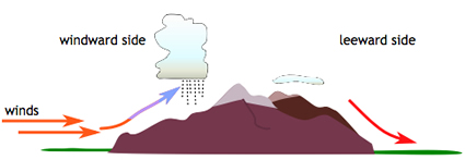
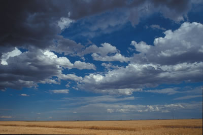
When wind blows across a mountain range, air rises and cools and clouds can form.
Click on image for full size
Courtesy of CMMAP
Cloud Formation and Mountains
Some clouds form when air blows across a mountain range or other types of terrain. When this happens, the air will rise and cool. The cooler air can't hold as much water vapor it was able to hold when it was warm. The extra water vapor begins to condense out of the air parcel in the form of liquid water droplets and a cloud is formed.
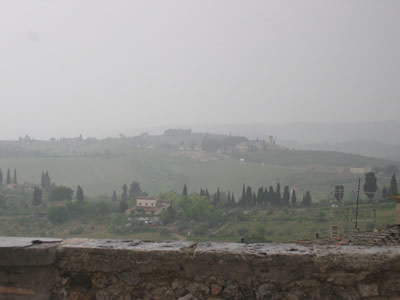
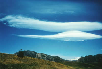
The types of clouds that form when air blows across mountains are stratus clouds and lenticular clouds.
The image on this page shows how winds can blow into a mountain range and then rise higher in the atmosphere. The side of the mountains where the wind starts is called the windward side. The side of the mountains where the wind leaves the area is called the leeward side.
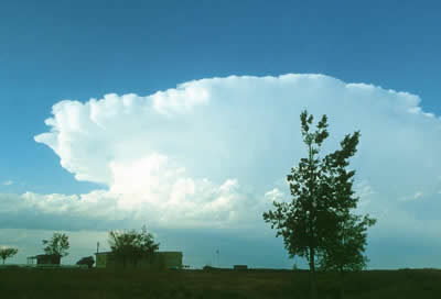
Another way that mountains cause cloud formation is when air rises because the mountain is warmer than the air around it and causes the air to rise. Once the air rises, it follows the same process to form clouds as described above. The types of clouds that form in this case are cumulonimbus (and mammatus clouds), and cumulus.
You might also be interested in:

Condensation is when water changes its state from a vapor or gas to a liquid. Condensation is responsible for the formation of clouds. Common examples of condensation are: dew forming on grass in the early
...more
Stratus clouds are part of the Low Cloud group. They are gray and can cover most or all of the sky (like a big blanket). Stratus clouds sometimes produce light mist or drizzle.
...more
Lenticular clouds form near the tops of mountains. Wind blows most types of clouds across the sky, but lenticular clouds look like they stay in one place. As this photo on this page shows, lenticular clouds
...more
Wind is moving air. Warm air rises, and cool air comes in to take its place. This movement creates the winds around the globe. Winds move at different speeds and have different names based on their speed.
...more
Cumulonimbus clouds belong to the Clouds with Vertical Growth group. They are also known as thunderstorm clouds. A cumulonimbus cloud can grow up to 10km high. At this height, high winds make the top
...more
Mammatus clouds are pouches of clouds that hang underneath the base of a cloud. Usually mammatus clouds form with cumulonimbus clouds. Mammatus clouds can look like a field of tennis balls or melons.
...more
Cumulus clouds belong to the Clouds with Vertical Growth group. They are puffy white or light gray clouds that look like floating cotton balls. Cumulus clouds have sharp outlines and a flat base. Seeing
...more


