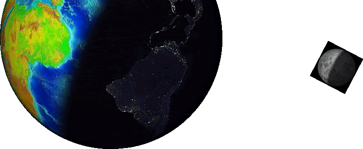
The map below shows the observations submitted in 2015!
Explore the map by clicking the arrow and +, - buttons located in the upper left corner of the map.
Thank you for your contributions to the Great World Wide Star Count!
|
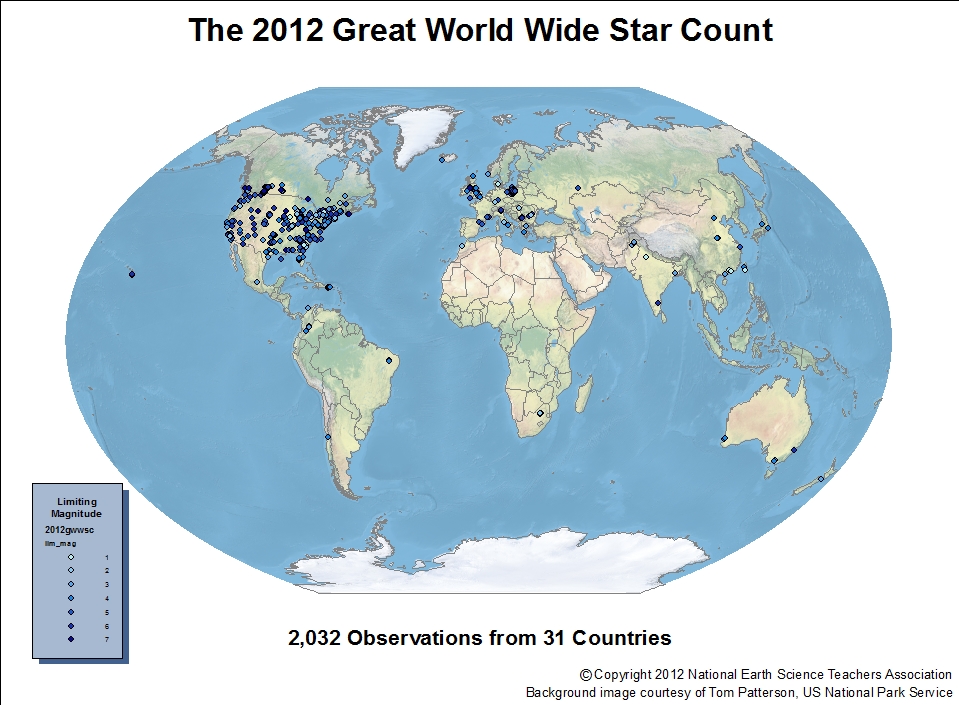
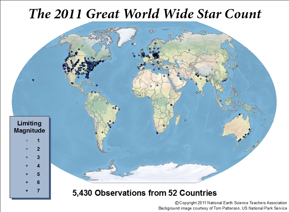
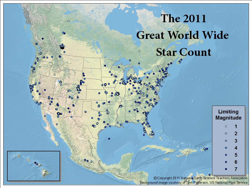
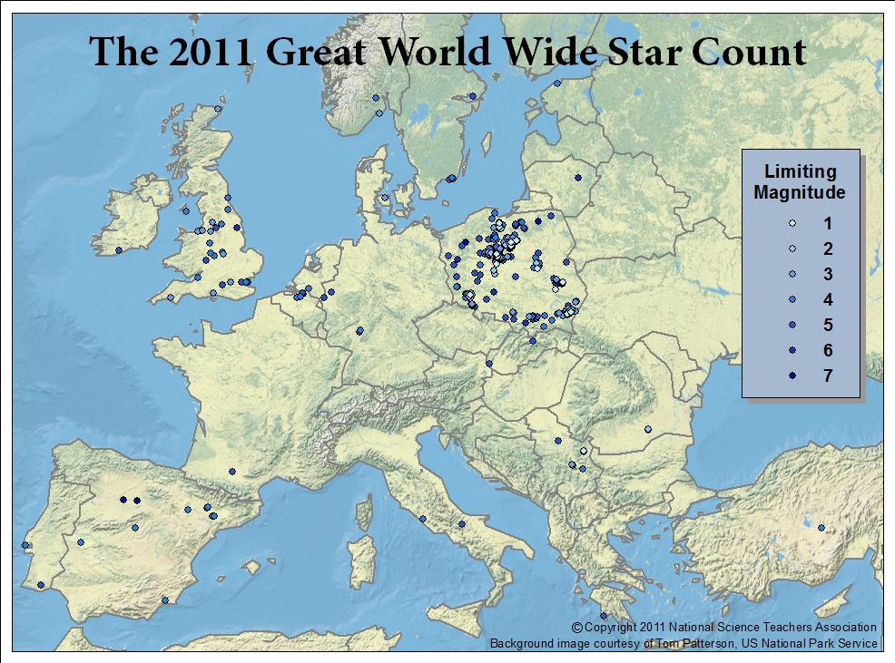
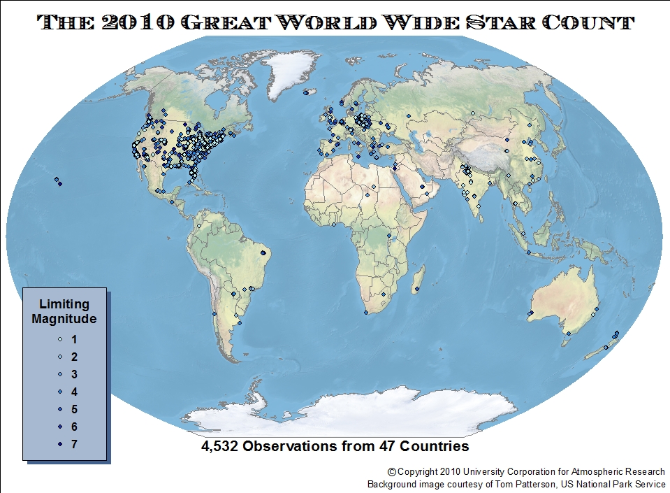
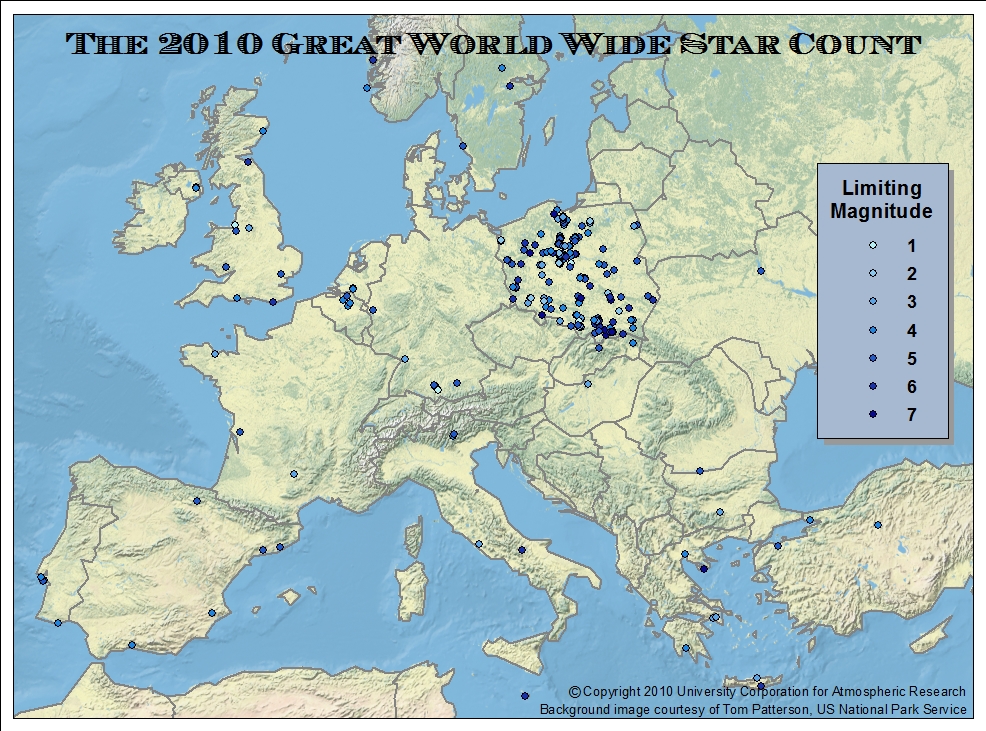
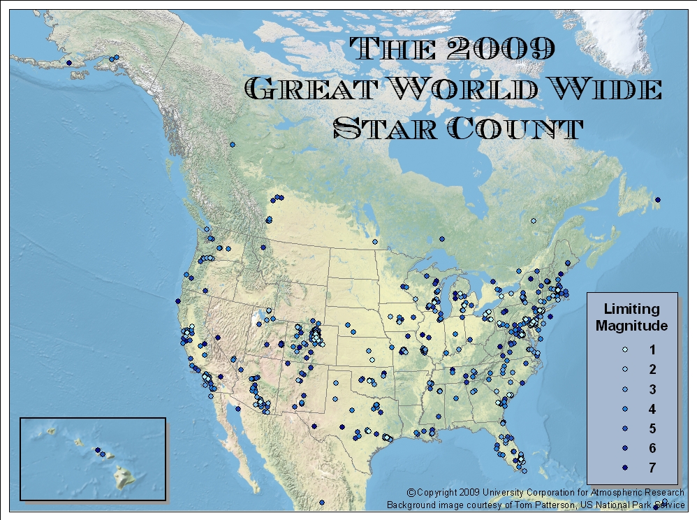
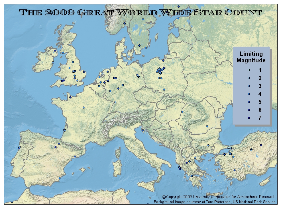
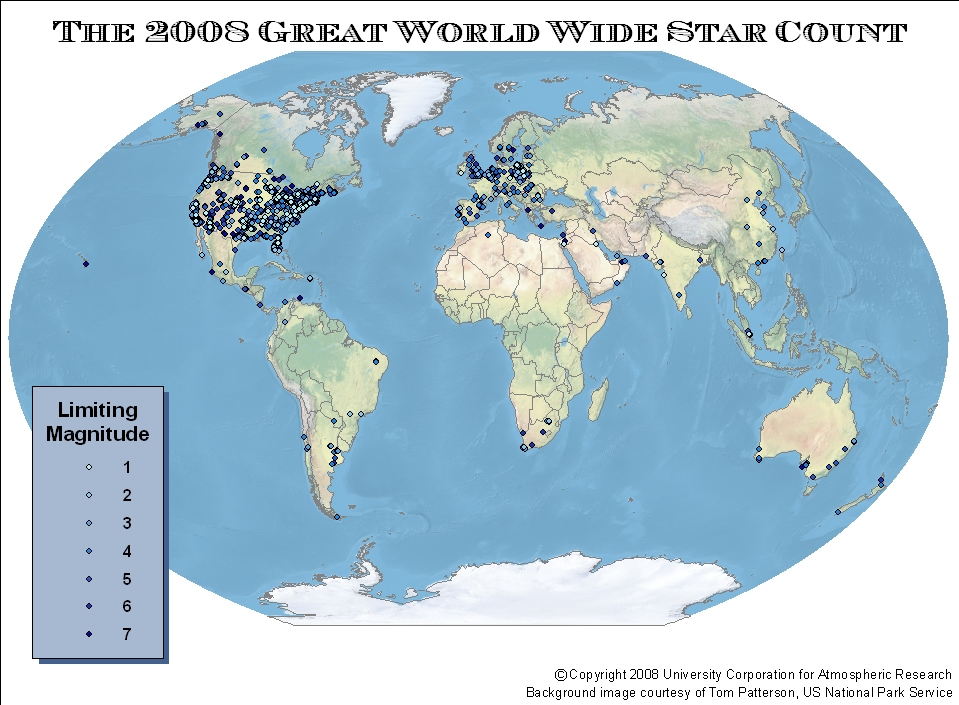
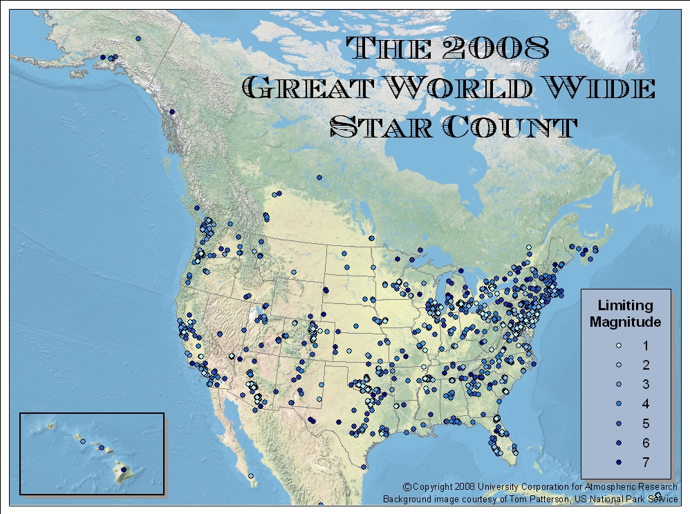
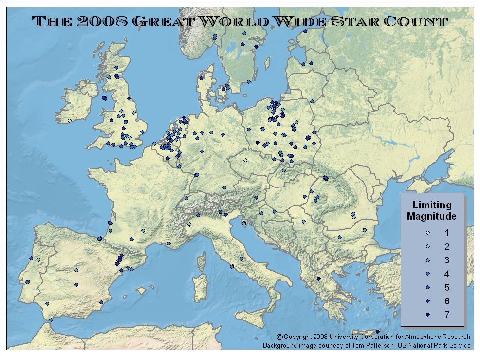
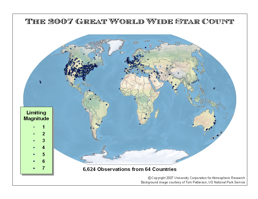
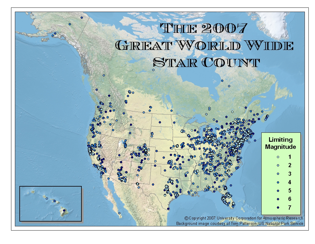
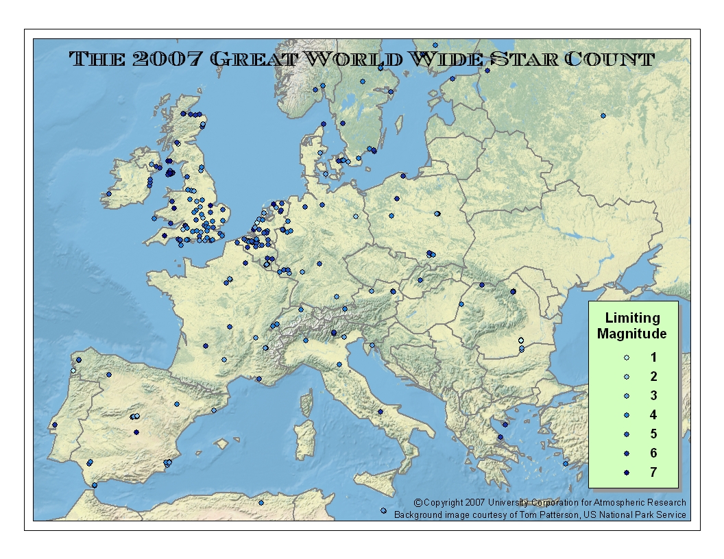
Results for the Great World Wide Star Count Download maps: 2013: World | US & Canada 2012: World 2011: World | US & Canada | Europe (all maps are JPEG) 2010: World | US & Canada | Europe (all maps are JPEG) 2009: World | US & Canada | Europe (all maps are JPEG) 2008: World | US & Canada | Europe (all maps are JPEG) 2007: World | US & Canada | Europe (all maps are JPEG) Download the Star Count datasets: 2013: ESRI Shapefile, Excel Spreadsheet, or Comma-Separated Text file 2012: ESRI Shapefile, Excel Spreadsheet, or Comma-Separated Text file 2011: ESRI Shapefile, Excel Spreadsheet, or Comma-Separated Text file 2010: ESRI Shapefile, Google Earth KMZ, Excel Spreadsheet, or Comma-Separated Text file 2009: ESRI Shapefile, Google Earth KMZ, Excel Spreadsheet, or Comma-Separated Text file 2008: ESRI Shapefile, Google Earth KMZ, Excel Spreadsheet, or Comma-Separated Text file 2007: ESRI Shapefile, Google Earth KMZ, Excel Spreadsheet, or Comma-Separated Text file |