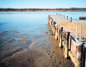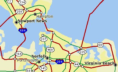
This map highlights the tidewater area of lower Chesapeake Bay in which the HIGH TIDE project has students make measurements using a CTD instrument. The HIGH TIDE project is run out of Old Dominion University in Norfolk, Virginia.
Click on image for full size
Courtesy of the HIGH TIDE project
Click on image for full size
Courtesy of the HIGH TIDE project
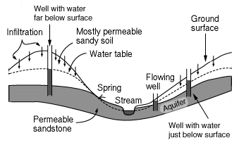
Tidewater Map
Last modified September 17, 2001 by Jennifer Bergman.