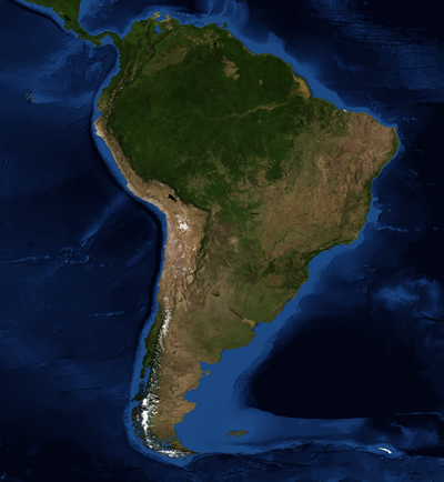
This map of South America includes the Southeast Pacific region, including the Southeast Pacific Ocean, the coastal regions of Peru and Chile, and the Andes Mountains.
Click on image for full size
Image Courtesy of NASA's Earth Observatory
The Southeast Pacific Region
The Southeast Pacific region is a very diverse part of South America. It includes coasts along the ocean and the Andes mountains in Chile and Peru.
The climate of the Southeast Pacific is influenced by the Andes, ocean currents, and winds. These things cause upwelling in the ocean and help keep the ocean and air temperatures cool.
The coast of Peru and northern Chile has a subtropical desert climate. Fog is common on the coast, and the only precipitation is an occasional light drizzle. This area also contains the Atacama Desert, which is one of the driest places on the Earth. The Atacama Desert contains many minerals, including copper. Central Chile has a mild climate and receives more rain than the northern areas.
Chile has some island territories located in the Pacific Ocean, including Easter Island. Easter Island is 3,600 km (2,237 miles) off the coast of Chile and has a humid, subtropical climate.
You might also be interested in:
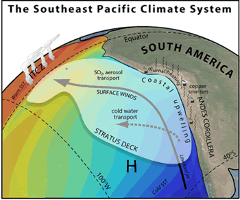
There are a lot of clouds over the Southeast Pacific Ocean off the coasts of Peru and Chile in South America. In fact, this area has the largest amount of stratus and stratocumulus clouds in the world!
...more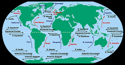
The water at the ocean surface is moved by powerful wind. The wind is able to move the top 400 meters of the ocean. This moving water is called surface ocean currents. Surface ocean currents form large
...more
Wind is moving air. Warm air rises, and cool air comes in to take its place. This movement creates the winds around the globe. Winds move at different speeds and have different names based on their speed.
...more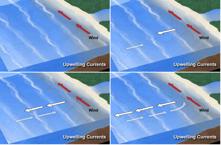
There are places in the ocean where water from the deep sea travels up to the surface. These are called areas of upwelling. The deep waters can have a large influence on marine life and the climate too.
...more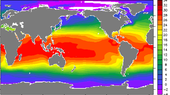
How do you know to pack your bathing suit and sunhat for a trip to a tropical island or pack warm sweaters and coats for a trip to Alaska? If you know a little about regional climates, then you know what
...more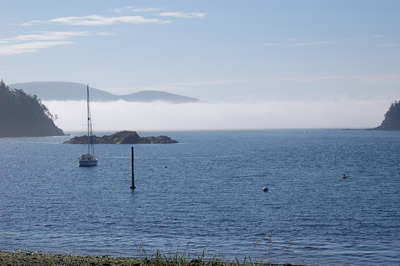
Fog is a cloud that touches the ground. Fog usually forms when moist air travels over cold land or water. The moist air cools down and the water vapor condenses and forms a cloud near the Earth's surface.
...more
Drizzle is very light rain; the water drops that make up drizzle are smaller than rain drops. Drizzle can be so light that only a millimeter of water falls to the Earth's surface in one day. It is produced
...more


