MILAGRO Image Gallery
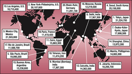

This map shows the world's 20 most populous urban areas in 2004. With 21,503,000 people, Mexico City ranks third. ( Data courtesy of the World Gazetteer; illustration courtesy of Mike Shibao, UCAR.)
( 147K JPG)
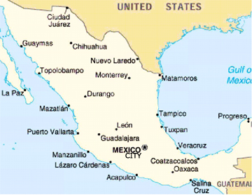

MILAGRO takes place in Mexico City, the capital of Mexico and one of the largest cities in the world with approximately 22 million inhabitants. Prevailing winds usually blow the city's air pollution to the northeast in a plume that extends over the Gulf of Mexico.
( 437K JPG)
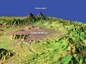

This is a computer generated 3-D rendering of the landscape surrounding Mexico City.
( 105K JPG)
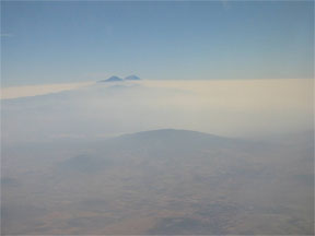

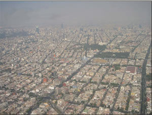
Air pollution over Mexico City ( Photo courtesy of Nancy A.Marley)
( 21K JPG)
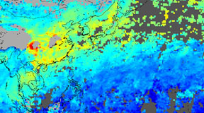

This satellite image from MOPITT shows air pollution over China and Southeast Asia during January 2003. ( Image courtesy of the NCAR MOPITT team)
( 99K JPG)
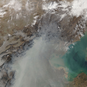

Satellite image of particulate pollution over Beijing, China. ( NASA image courtesy the MODIS Rapid Response Team)
( 219K JPG)
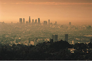

Ozone peaks in urban areas during late afternoon. ( Courtesy of UCAR)
( 24K JPG)
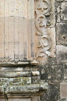

This building in Copola, Mexico, has been damaged by acid rain. ( Courtesy of UCAR Digital Image Library)
( 159K JPG)
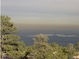

An inversion layer hangs over residents of Boulder, Colorado. ( Source: T. Eastburn)
( 147K JPG)
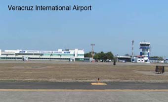

This is a photo of the Veracruz International Airport. ( Courtesy of UCAR)
( 52K JPG)
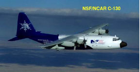

This is a photo of the C-130 airplane. ( Courtesy of UCAR)
( 36K JPG)
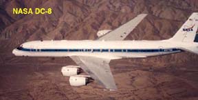

This is a photo of the DC-8 airplane. ( Courtesy of NASA)
( 64K JPG)
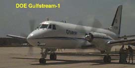

This is a photo of the Gulfstream airplane. ( Courtesy of the DOE)
( 50K JPG)
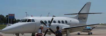

This is an image of the J-31 airplane. ( Courtesy of NASA)
( 42K JPG)
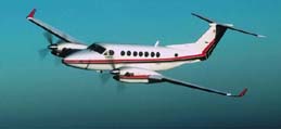

This is a photo of the King Air plane. ( Courtesy of the DOE)
( 42K JPG)
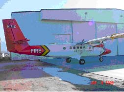

This is a photo of the Twin Otter plane. ( Courtesy of the US Forest Service)
( 15K JPG)
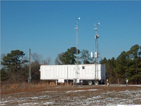

This is a photo of a mobile lab. ( Courtesy of Georgia Institute of Technology)
( 196K JPG)
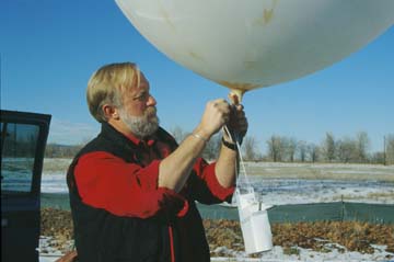

A scientist prepares to launch a radiosonde. ( Courtesy of the Digital Image Library, UCAR)
( 512K JPG)
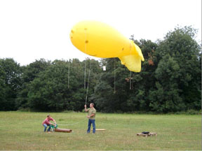

Researchers with a tethersonde. ( Courtesy of the DOE)
( 121K JPG)
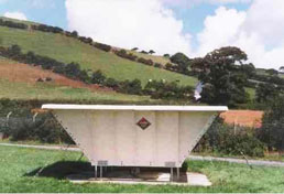

Wind profilers such as this one will help MILAGRO researchers measure wind speed and direction. ( Courtesy of NSF)
( 49K JPG)
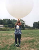

A scientist prepares to launch a balloon with an ozonesonde and radiosonde attached. The dual instruments will collect ozone and weather information at heights up to 115,000 feet (35 km). ( Source: MILAGRO Image File)
( 62K JPG)

You might also be interested in:

Cool It! Game

Check out our online store - minerals, fossils, books, activities, jewelry, and household items!...more

Introduction to Milagro

MILAGRO stands for Megacity Initiative: Local and Global Research Observations. What that really means is that a team of researchers from around the world is in Mexico City to study the atmosphere there....more

Megacities

Mexico City, where the field campaign MILAGRO takes place, is a "megacity." A megacity is defined as having 10 million or more inhabitants. The 21st century is definitely shaping up to be the Urban Century....more

Milagro Campaign - For Kids!

Atmosphere And Clouds Word Search Air Quality Word Search (Printable) -- And the Answer Key Air Quality Word Scramble Greener Machine – Cars: How You And Others Can Make A Difference! Interactive Game...more

Milagro Campaign - For Educators!

Age-Appropriate Windows to the Universe Activities on Climate, Atmosphere and Weather Earth 911 Teachers' Section Educational Materials from the EPA Air Pollution - What's the Solution? A 6-12 Educational...more

Aircraft Used in the MILAGRO Campaign

The MILAGRO scientists will use six different airplanes to study air pollution around Mexico City. Each plane will have different instruments onboard that will help scientists measure air pollution. They'll...more

MILAGRO Instruments

Researchers are setting up instruments on the ground during MILAGRO to make observations and measurements about the air around Mexico City that can't be made from airplanes. Here are a few examples of...more

I Want to Know More...

About the Campaign MILAGRO Official Homepage Mirage Homepage (Megacity Campaign) Department of Energy Atmospheric Science Program (ASP) MEGACITY Aerosol Experiment in Mexico City (MAX-Mex) NASA’s Intercontinental...more

Windows to the Universe, a project of the National Earth Science Teachers Association, is sponsored in part is sponsored in part through grants from federal agencies (NASA and NOAA), and partnerships with affiliated organizations, including the American Geophysical Union, the Howard Hughes Medical Institute, the Earth System Information Partnership, the American Meteorological Society, the National Center for Science Education, and TERC. The American Geophysical Union and the American Geosciences Institute are Windows to the Universe Founding Partners. NESTA welcomes new Institutional Affiliates in support of our ongoing programs, as well as collaborations on new projects. Contact NESTA for more information. NASA ESIP NCSE HHMI AGU AGI AMS NOAA