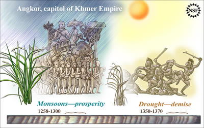
Studying tree rings has revealed a record of wet and dry times that helps make sense of the mysterious and gradual demise of Angkor, the capitol of the Khmer Empire in Cambodia from the 9th to 14th centuries. A very wet period with rich monsoons and plentiful crops from 1258 to 1300 was followed by many years of drought from 1350 to 1370.
Click on image for full size
Image Courtesy of Zina Deretsky, National Science Foundation
Climate Helped Bring Angkor to Its Knees
The Earth keeps a record of past climate in several different ways, including tree rings, which show what climate was like for each year of a tree's life. A team of researchers has used tree ring data to learn more about the fall of Angkor, the capitol of the Khmer Empire in Cambodia.
Brendan Buckley, a researcher from the Lamont-Doherty Earth Observatory at Columbia University, and his colleagues have put together a record of periods of drought and moisture in Southeast Asia from 1250 to 2008 AD. Large sets of information like this tree ring data show us patterns and events that happen over longer time periods than a human lifetime.
By looking at tree ring data, and analyzing rain, drought, and temperature data, we can see the link between climate in the environment with what was happening with humans at that time. Angkor was a city that relied heavily on water. Buckley and his colleagues learned that in the mid- to late 1300's, Angkor experienced very dry conditions for many decades, followed by several years of severe wetness that may have caused damage to the city. Afterwards, a shorter but more severe drought in the early 1400's may have been more than this city could handle.
These types of findings can make us realize how important it is to learn what the natural world can tell us. The cypress trees that can tell a story of the past with their tree rings are becoming rare because this wood is being harvested for an illegal timber trade.
You might also be interested in:
The climate where you live is called regional climate. It is the average weather in a place over more than thirty years. To describe the regional climate of a place, people often tell what the temperatures
...more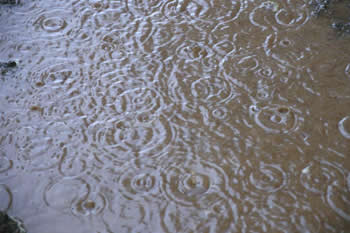
Rain is precipitation that falls to the Earth in drops of 5mm or more in diameter according to the US National Weather Service. Virga is rain that evaporates before reaching the ground. Raindrops form
...more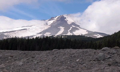
Scientists have learned that Mount Hood, Oregon's tallest mountain, has erupted in the past due to the mixing of two different types of magma. "The data will help give us a better road map to what a future
...more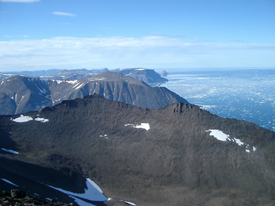
The Earth's mantle is a rocky, solid shell that is between the Earth's crust and the outer core, and makes up about 84 percent of the Earth's volume. The mantle is made up of many distinct portions or
...more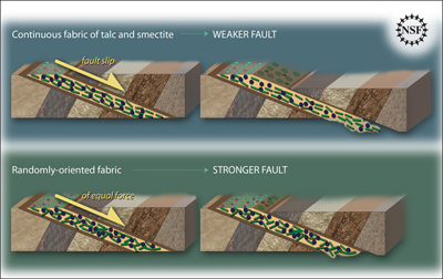
Some geologic faults that appear strong and stable, slip and slide like weak faults, causing earthquakes. Scientists have been looking at one of these faults in a new way to figure out why. In theory,
...more
The sun goes through cycles that last approximately 11 years. These solar cycle include phases with more magnetic activity, sunspots, and solar flares. They also include phases with less activity. The
...more
Studying tree rings doesn't only tell us the age of that tree. Tree rings also show what climate was like for each year of a tree's life, which means they can tell us about climates of the past and about
...more