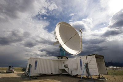
This radar was used in a field project run by the National Center for Atmospheric Research in Taiwan.
Click on image for full size
Image courtesy of the University Corporation for Atmospheric Research
How Radar Works
Radar is short for "radio detection and ranging". A radar dish sends out pulses of radio waves. These waves bounce off objects and return to the dish. A radar echo shows up on the monitor and shows where the object is located. Then a computer makes calculations to show how far away the object is located.
One use of radar is in the military. Radar is used both as an offensive and a defensive weapon. It can see the enemy so the military knows where to attack. It can also warn when an enemy is attacking. Due to recent advances in stealth technology, radar is not as effective on the battlefield.
There are many scientific uses for radar. Weather radar is an important tool in weather forecasting. Scientists also use radar to study different aspects of the atmosphere, such as wind patterns and air pollution. Radar is also used by space probes such as Magellan to map the surfaces of other planets.
You might also be interested in:

Wind is moving air. Warm air rises, and cool air comes in to take its place. This movement creates the winds around the globe. Winds move at different speeds and have different names based on their speed.
...more
Have you ever heard of air pollution? Air pollution is not new. 700 years ago, when people started burning large amounts of coal 700 years ago in London, England, they complained about the dust and soot
...more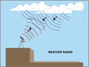
Radar is an important part of weather forecasting because it can show rain is located. The radar bounces radio waves off raindrops in clouds. A computer measures how long it takes for the radio waves to
...more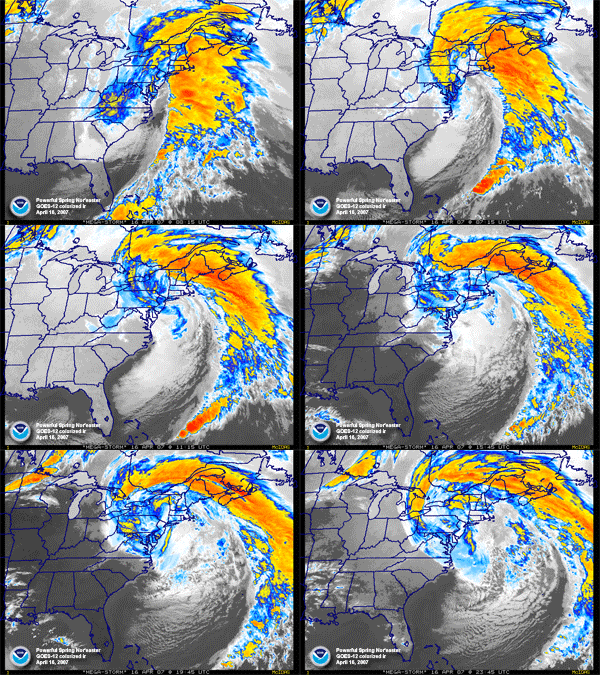
This image shows a northeaster on a radar. From April 15-17, 2007, heavy rain and snow fell on the East Coast because of this northeaster. Parts of the East Coast were flooded from the large rainfall.
...more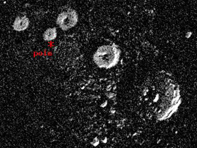
Most planets are tilted. Their North and South Poles are not straight up and down. Earth is tilted a medium amount. Uranus is tilted a lot. Mercury is hardly tilted at all. It is tilted less than any other
...more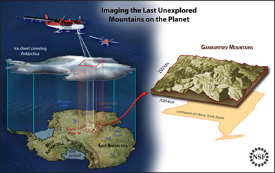
A team of international scientists has completed an survey of part of the East Antarctic Ice Sheet. The survey was done by the Antarctica Gamburstev Province (AGAP) project, and their goal was to learn
...more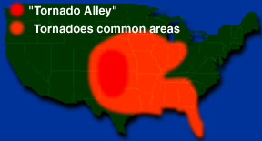
A section of the Great Plains in the central part of the United States is called "Tornado Alley". This is because more tornadoes form here than any other part of the country. The plains are flat which
...more


