Mars Odyssey Image List


The Mars Odyssey spacecraft


This is an artist's depiction of the Mars Surveyor 2001 Orbiter showing the Orbiter as it reached Mars. (Courtesy of NASA)


Images from the Mars Odyssey


This is the Mars Odyssey's first picture. It took this picture of the Earth and Moon on April 19th, 2001, in celebration of Earth day. The image was taken as part of the calibration process for the thermal emission imaging system, the camera system that is one of three science instrument packages on the spacecraft. (Courtesy of NASA/JPL)


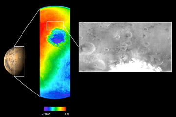
This image shows both a visible and a thermal infrared image taken by the thermal emission imaging system on NASA's 2001 Mars Odyssey spacecraft on November 2, 2001. The visible wavelength image, shown on the right in black and white, was obtained using one of the instrument's five visible filters. The spacecraft was approximately 22,000 kilometers (about 13,600 miles) above Mars looking down toward the south pole when this image was taken. The thermal infrared image, center, shows the temperature of the surface in color. The circular feature seen in blue is the extremely cold martian south polar ice cap. The instrument measured a temperature of minus 120 degrees Celsius (minus 184 degrees Fahrenheit) at this ice cap. (Courtesy of NASA/Jet Propulsion Laboratory/Arizona State University)


Go back to Mars, Pluto, Mercury, Saturn, Neptune, Venus, Moon, Jupiter, Asteroids, Comets, Sun, Missions, Uranus, Astrophysical Objects, Mariner Images, Viking Images, Mars Pathfinder Images


IMAGEMAP

Last modified November 26, 2001 by Jennifer Bergman.

You might also be interested in:

Cool It! Game

Check out our online store - minerals, fossils, books, activities, jewelry, and household items!...more

Mars Odyssey

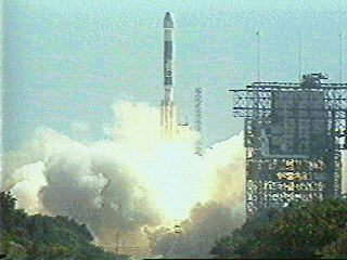
The Mars Odyssey was launched April 7, 2001, from Cape Canaveral Air Force Station in Florida. After a six-month, 285 million-mile journey, the Odyssey arrived at Mars on October 24, 2001 (02:30 Universal...more

Mars 2005

The Mars 2005 mission is still in the planning stages. It is set to launch in the year 2005. ...more

Aerobraking

On September 12, 1997, the Mars Global Surveyor successfully entered a highly elliptical orbit around Mars. To get into the near-circular, near-polar, low-altitude orbit necessary to map the surface of...more

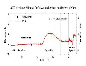
Mars Global Surveyor Measures Olympus Mons

Mars Global Surveyor carries an instrument which measures the altitudes of things. The instrument is called an altimeter, or "altitude-meter". The graph to the left shows the results returned from Mars...more

Mars Global Surveyor Measures Martian Global Hemispheres

Mars Global Surveyor carries an instrument which measures the altitudes of things. The instrument is called an altimeter, or "altitude-meter". The graph to the left shows Mars Global Surveyor's measurement...more

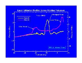
Mars Global Surveyor Measures Volcano Altitudes

Mars Global Surveyor carries an instrument which measures the altitudes of things. The instrument is called an altimeter, or "altitude-meter". The graph to the left shows Mars Global Surveyor's measurement...more

Instruments of the Mars Global Surveyor Mission

Mars Global Surveyor (MGS) is conducting mapping operations at Mars more than 30 years after America's first reconnaissance missions reached the mysterious red planet. Here are some of the instruments...more

Windows to the Universe, a project of the National Earth Science Teachers Association, is sponsored in part is sponsored in part through grants from federal agencies (NASA and NOAA), and partnerships with affiliated organizations, including the American Geophysical Union, the Howard Hughes Medical Institute, the Earth System Information Partnership, the American Meteorological Society, the National Center for Science Education, and TERC. The American Geophysical Union and the American Geosciences Institute are Windows to the Universe Founding Partners. NESTA welcomes new Institutional Affiliates in support of our ongoing programs, as well as collaborations on new projects. Contact NESTA for more information. NASA ESIP NCSE HHMI AGU AGI AMS NOAA