Compare Images of Arctic Sea Ice Extent Side-by-side
The images below show sea ice in the Northern Hemisphere. Select images from the popup menus to compare two images side-by-side.
Try this:
- compare the sea ice in March and September for the same year
- compare the sea ice in March for two different years
- compare the sea ice in September for two different years
- click here if you want to look at sea ice in the southern hemisphere
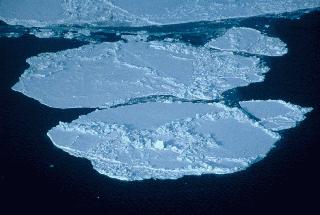
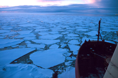
In the Northern Hemisphere (around the North Pole and the Arctic Ocean) the sea ice reaches its maximum extent in early spring, at the end of the long, cold winter. March is usually the month with the most sea ice.
The ice pack melts and breaks up over the summer. September is usually the month with the least sea ice (in the Northern Hemisphere).
The Northern Hemisphere ice pack seems to be shrinking, apparently as a result of global warming. The average rate of decrease in extent of the ice pack in September between 1979 and 2010 was 11.5% (+ or - 2.9%) per decade. Click here to see the predictions that global climate models make about future changes in sea ice extent.
The pink line in the images shows the average (from 1979 to 2000) edge of the ice pack for a particular month.
Click here to view an animation of the annual changes in sea ice extent in the Northern Hemisphere for a seven-year period (2002 through 2008).
Go to the NSIDC web site to:


Shop Windows to the Universe Science Store!
The
Winter 2009 issue of The Earth Scientist, focuses on Earth System science, including articles on student inquiry, differentiated instruction, geomorphic concepts, the rock cycle, and much more!
You might also be interested in:

Sea ice is frozen seawater. It can be several meters thick and it moves over time. Although the salts in the seawater do not freeze, pockets of concentrated salty water become trapped in the sea ice when
...more
North of the Arctic Circle (at 66.5°N latitude) you will find the Arctic Ocean surrounded by the northernmost parts of the continents of Europe, Asia, and North America. You will find the geographic North
...more
The world's surface air temperature increased an average of 0.6° Celsius (1.1°F) during the last century according to the Intergovernmental Panel on Climate Change (IPCC). This may not sound like very
...more
There are two oceans in Earth’s polar regions: the Arctic Ocean, which occupies most of the north polar region, and the Southern Ocean, which surrounds the continent of Antarctica in the south polar region.
...more
Dive into one of our new polar activities or games! Animation showing Annual Variation of Sea Ice Extent in the Arctic Animation showing Annual Variation of Sea Ice Extent in the Antarctic Changing Planet:
...more
Altocumulus clouds (weather symbol - Ac), are made primarily of liquid water and have a thickness of 1 km. They are part of the Middle Cloud group (2000-7000m up). They are grayish-white with one part
...more
Altostratus clouds (weather symbol - As) consist of water and some ice crystals. They belong to the Middle Cloud group (2000-7000m up). An altostratus cloud usually covers the whole sky and has a gray
...more